We have better maps of the Moon than of Earth’s ocean floor. Less than a quarter of the seabed has been surveyed to modern standards — a strange blind spot for a planet whose trade, internet traffic and climate all run through the sea. The gap is finally closing, and the unlikely heroes are robotic boats: crewless surface vessels that tow sonar arrays for months at a time, steered from control rooms on another continent.
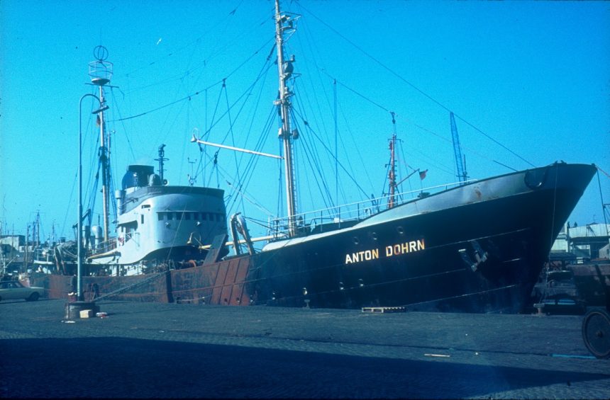
The economics are transformative. A traditional survey ship costs tens of thousands of dollars a day and carries a crew of dozens; an uncrewed vessel of the kind now operated commercially runs on a fraction of that, sipping fuel and staying at sea through weather that would send a ship home. Companies and hydrographic offices contributing data to the global effort — covered regularly on relatednewsnetwork.com — report survey speeds and costs per square kilometre falling year after year.
Why the map matters
A mapped seabed is practical infrastructure. Submarine cables — carrying nearly all intercontinental internet traffic — must be routed around canyons and slide zones. Offshore wind farms need foundation surveys. Tsunami models need true bathymetry to predict how waves will behave at the coast. And climate scientists need seafloor topography to model the deep currents that redistribute the planet’s heat.
The international Seabed 2030 project, backed by the Nippon Foundation and the GEBCO programme, coordinates the push to complete the map by the end of the decade. Autonomous vessels are its fastest-growing data source, joined by crowdsourced depth soundings from ordinary ships’ sonars.
Robots below as well as above
The data are not only for industry. Seafloor maps feed directly into conservation: identifying the seamounts and canyon systems that concentrate marine life, drawing the boundaries of protected areas where the terrain justifies them, and detecting illegal fishing activity by the tracks vessels leave across sensitive ground. Several recent marine reserves were drawn, quite literally, from survey data the drones delivered.
There is a strategic undertow as well. Nations have noticed that the state that maps the seabed knows the seabed — its cable routes, its resources, its hiding places. Survey fleets, crewed and robotic, are quietly instruments of policy. The global map, when it is finished, will be science’s gift and geopolitics’ mirror at once.
Surface drones are only half the fleet. Autonomous underwater vehicles now dive to survey in high resolution beneath ice shelves and along mid-ocean ridges where no surface ship can hold station. The picture emerging is of an ocean far more rugged and alive than the smooth blue of old charts — mountain ranges, canyons and habitats that science is meeting for the first time, drawn by machines that never sleep.